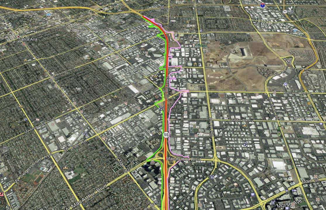
OCTA, SR-55 Between I-405 and I-5 PR/ED

OCTA, SR-55 Between I-405 and I-5 PR/ED
Guida provided a wide spectrum of surveying services for this OCTA project. Our services include assisting Caltrans with aerial topographic mapping, right-of-way delineation and engineering, design surveys, utility surveys, bridge surveys, freeway cross sections, title research, boundary surveys, and coordination with OCTA and Caltrans. Assist Caltrans with aerial topographic mapping.
- Precise right-of-way delineation, establishing 200+ parcels adjacent to the highway
- Design surveys for base-map enhancement
- Utility survey mapping the existing facilities, covering roughly a 5+-mile linear segment
- Bridge surveys
- Extensive freeway cross sections
- Title research
- Boundary surveys
- Assist Caltrans with aerial topographic mapping
Guida performed this work with adherence to the guidelines set forth by OCTA and Caltrans, enhancing the efficiency of a congested highway.

OUR PROMISE
Guida is thankful for the opportunity to contribute to our client’s diversity goals through our certifications and always find ways utilize SBE/WBE/DBE subconsultant firms on our contracts whenever possible.
CORPORATE
(949) 777-2000
HEADQUARTERS
Orange County, CA
CONNECT WITH US

